- Licence
- 202300529
- Access no.
- 3435157
- Location
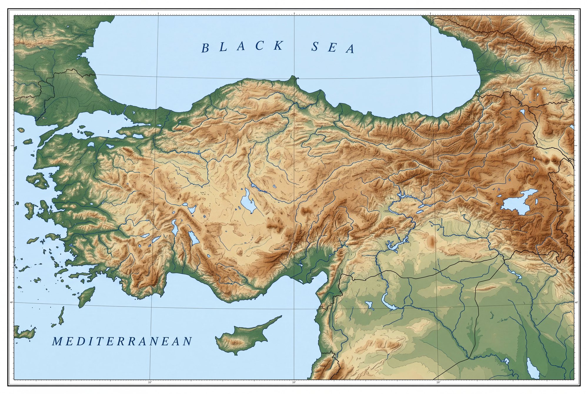
- Rezip · Merkez · Adıyaman
- Area
- 601.05 ha
- Target metals
- Cu · Pb · Zn
- Belt
- SE Anatolian suture
- Detailed Exploration Period
- Granted by MAPEG letter of 02.03.2026 · valid to 11.03.2030
- Best grade as filed
- 9,176.3 ppm — Cu 9,176.3 ppm, Pb 9,467.5 ppm, Zn 8,870.3 ppm as filed
- Centroid (WGS84)
- 37.8980° N, 38.2940° E
- Map sheets
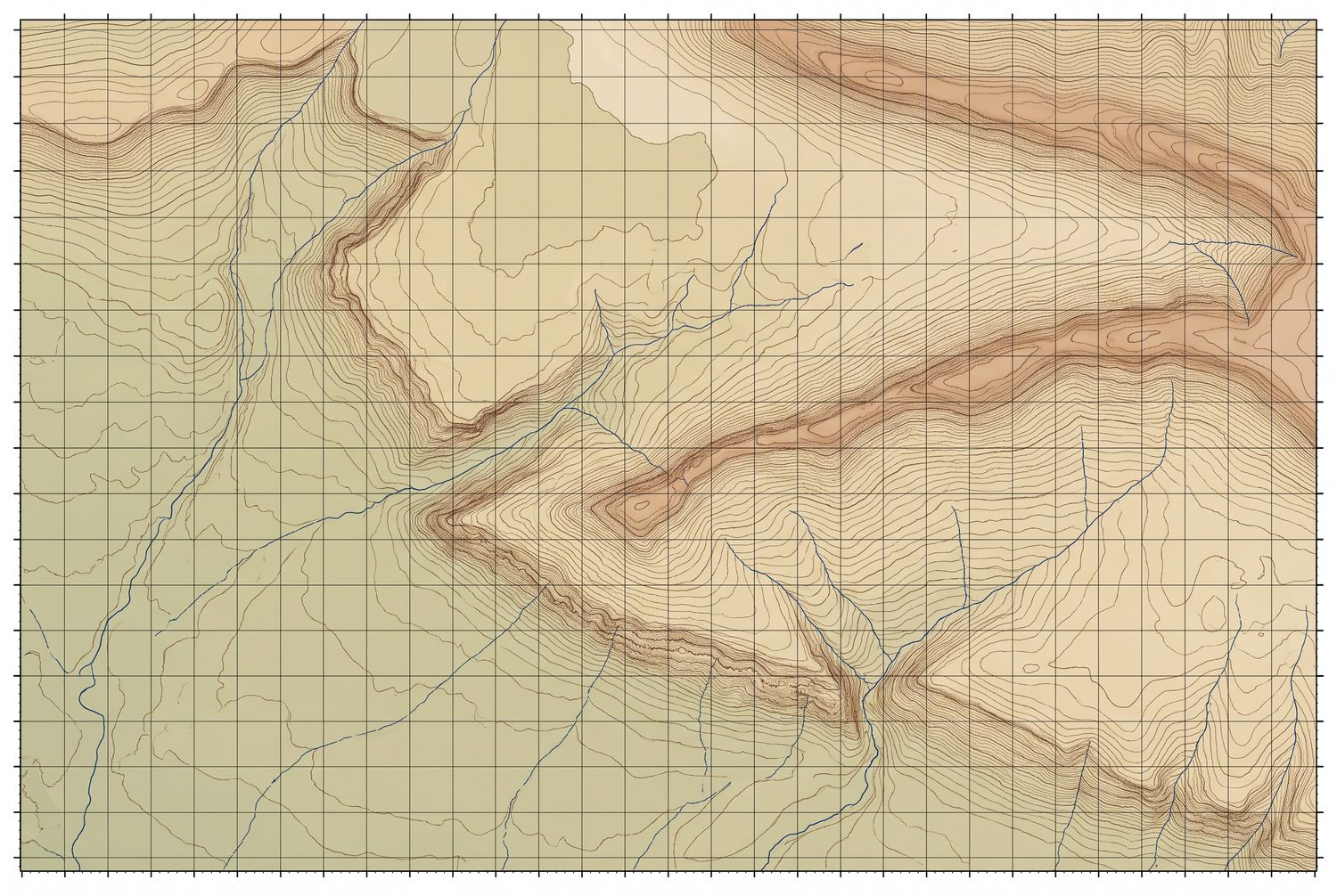
- M40B1
- Detailed Exploration budget
- 5,000 m · 7.60 m TRY
Geology
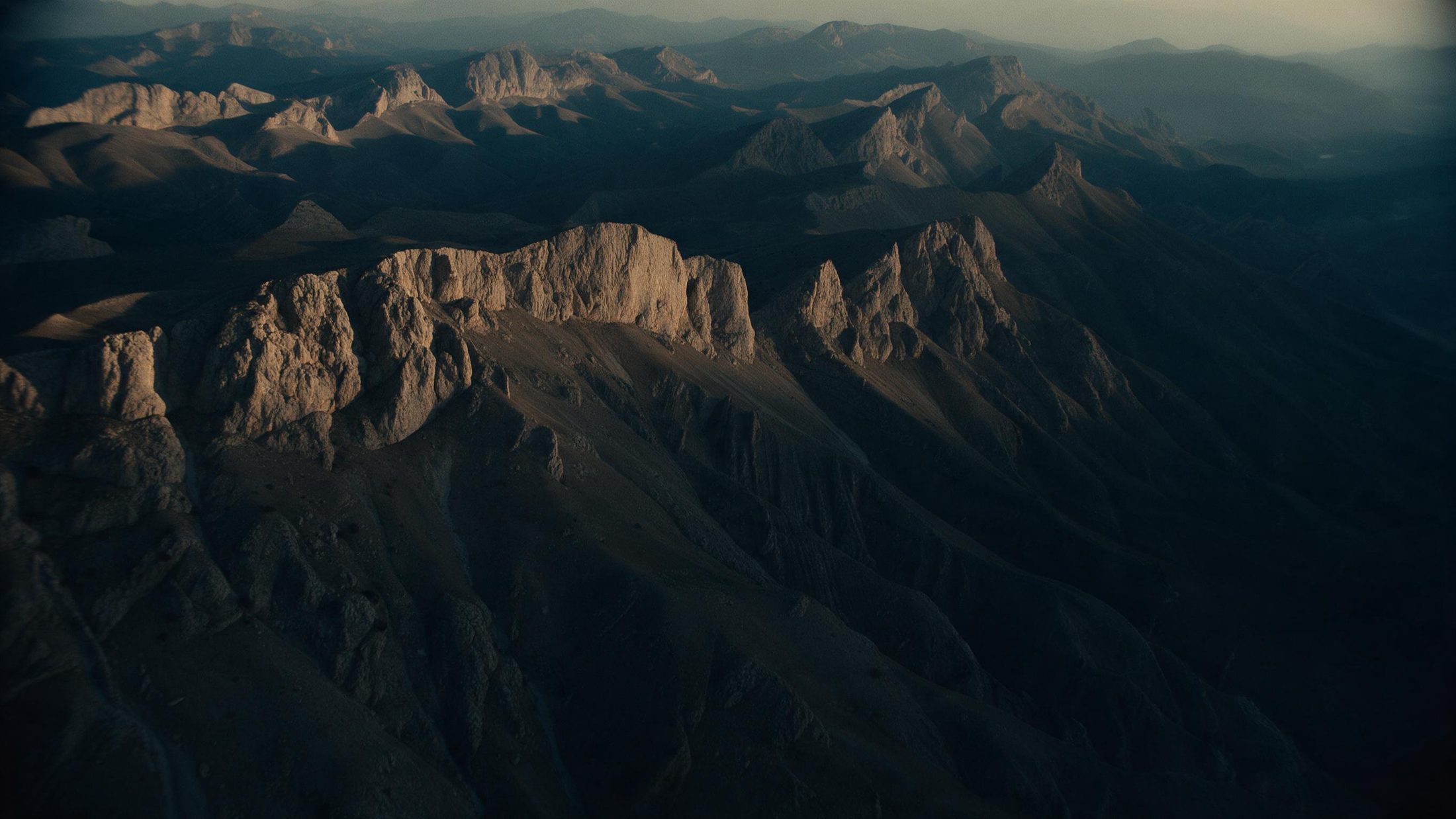
Koçali Complex mafic volcanics and sediments beneath shelf limestone that forms steep scarps across the licence, with chert horizons common in the limestone. Iron, magnetite and nickel-bearing levels were identified and sampled in both units.
Work completed
Geological mapping, hand-core drilling and core sampling
Source: the Genel Arama Dönemi Faaliyet Raporu filed for licence 202300529; assays by ArgeTest Laboratuvarı, Ankara, codes FA02 / GAR01-ext. The licence boundary is 3 separate parcels in the filed KMZ.
The filed reports carry a “muhtemel rezerv” (probable reserve) calculation under Turkish Mining Law 3213. It is not a Mineral Resource or Ore Reserve under JORC or NI 43-101, no Competent or Qualified Person has signed it, and it is neither an estimate of what the ground holds nor a limit on it. The figures are in the data room.
The ground
On the map
The other three