- Licence
- 202300537
- Access no.
- 3435253
- Location
- Yukarı Fındıklı · İspir · Erzurum
- Area
- 1,434.05 ha
- Target metals
- Cu · Ag
- Belt
- Eastern Pontides
- Probable reserve
- 46,400 t *
- Best grade as filed
- Cu and Ag anomaly; malachite logged at the volcano-sedimentary contact
- Centroid (WGS84)
- 40.5789° N, 40.9637° E
- Map sheets
- G45C3 · G46D4
- Detailed Exploration budget
- 5,000 m · 7.59 m TRY
Geology
Oltuçayı volcanics — dacite and rhyodacite cut by porphyritic monzonite and diorite intrusions, with andesite and rhyolite dykes and sills. Units run north to south from intrusives through volcanics and volcano-sedimentary rocks into sediments and limestone. High copper values sit in fault zones between the sedimentary units and the ultramafics, and the filed report describes the zone as traceable at map scale.
Work completed
Geological mapping, rock and stream-sediment sampling, hand-core drilling
Source: the Genel Arama Dönemi Faaliyet Raporu filed for licence 202300537; assays by ArgeTest Laboratuvarı, Ankara, codes FA02 / GAR01-ext. The licence boundary is 3 separate parcels in the filed KMZ.
* Tonnages on this site are “muhtemel rezerv” (probable reserve) as calculated under Turkish Mining Law 3213 and filed with MAPEG. They are not Mineral Resources or Ore Reserves under JORC or NI 43-101, no Competent or Qualified Person has signed them, and they should not be read as either.
The ground
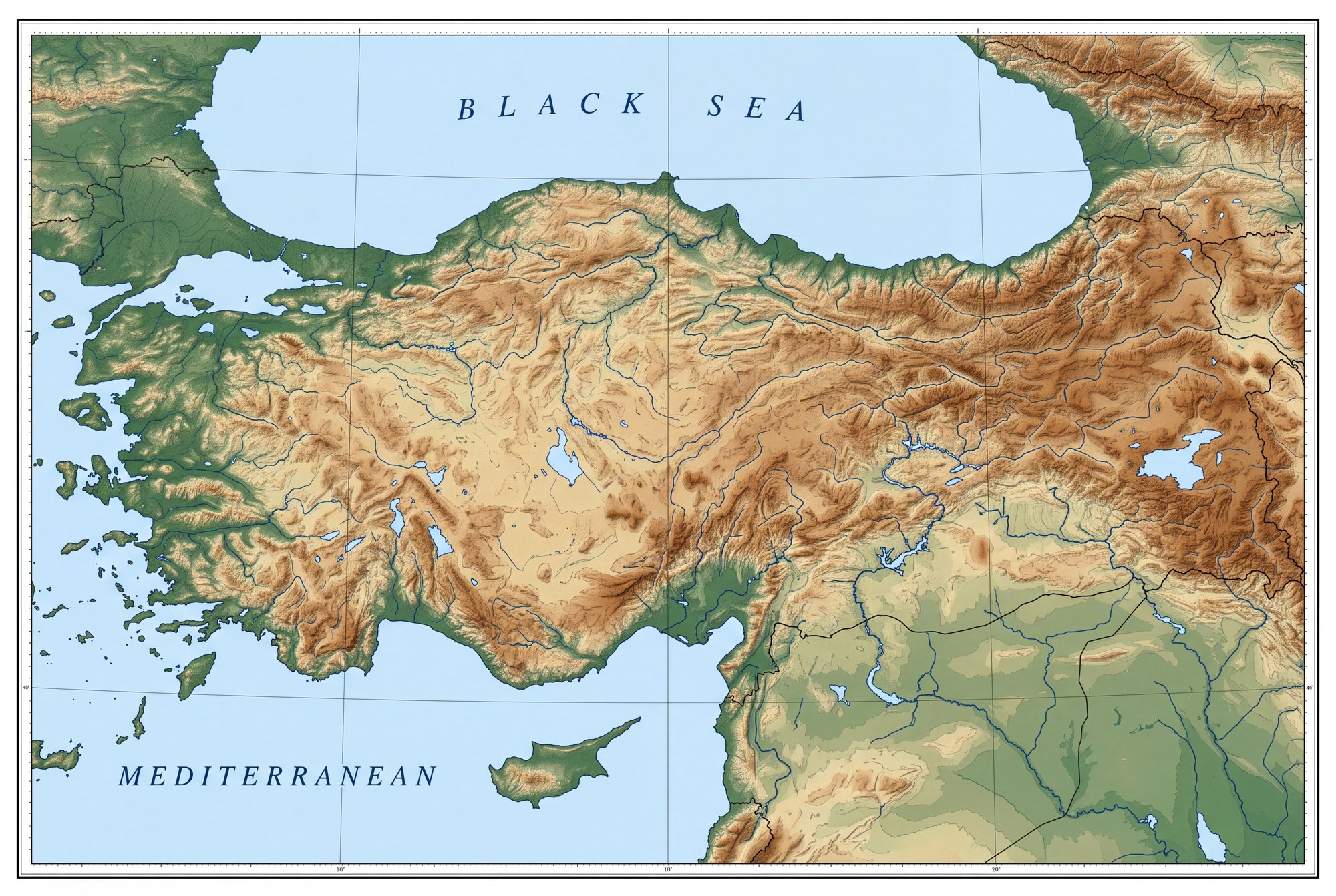
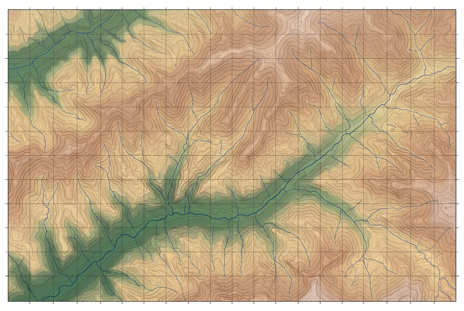
On the map
The other three